247-25-000093-A; ODOT Lava Butte Trail Remand
Proposal Summary
ODOT requests the County review its prior record (ref. file no. 247-23-000302-DR), adopt adequate findings that ODOT’s application does not constitute a collateral attack on the 1999 Weigh Station Decision, and issue a final decision that the Subject Property is zoned RR-10 on which the Lava Butte Path may be constructed.
Location
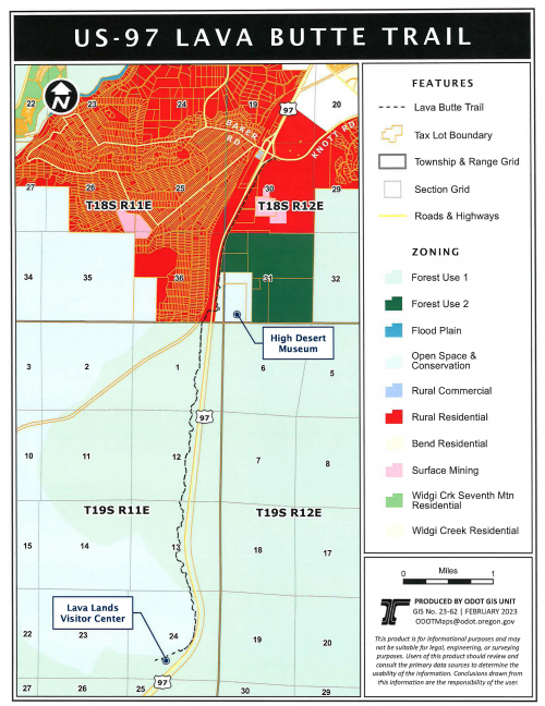
- Oregon Department of Transportation (ODOT) Highway 97 right-of-way located in Township 18S, Range 12E, Sections 19, 30, & 31 and Township 18S, Range 11E, Section 36 (see location map).
- 59800 HWY 97, BEND, OR 97702 / Map and Taxlot: 1811000001900
Note: The County does not have land use review authority on federal lands. The southern extent of the proposed multi-use path continues onto Deschutes National Forest lands on the west side of Highway 97.
Proposal Status
A Hearings Officer hearing was held on March 18, 2025. The record was reopened to accept testimony at the hearing and re-closed at the close of the hearing. The Hearings Officer decision is anticipated to be issued in April of 2025.
Staff Contact
Caroline House, Senior Planner
Email: Caroline.House@deschutes.org
Phone: (541) 388-6667